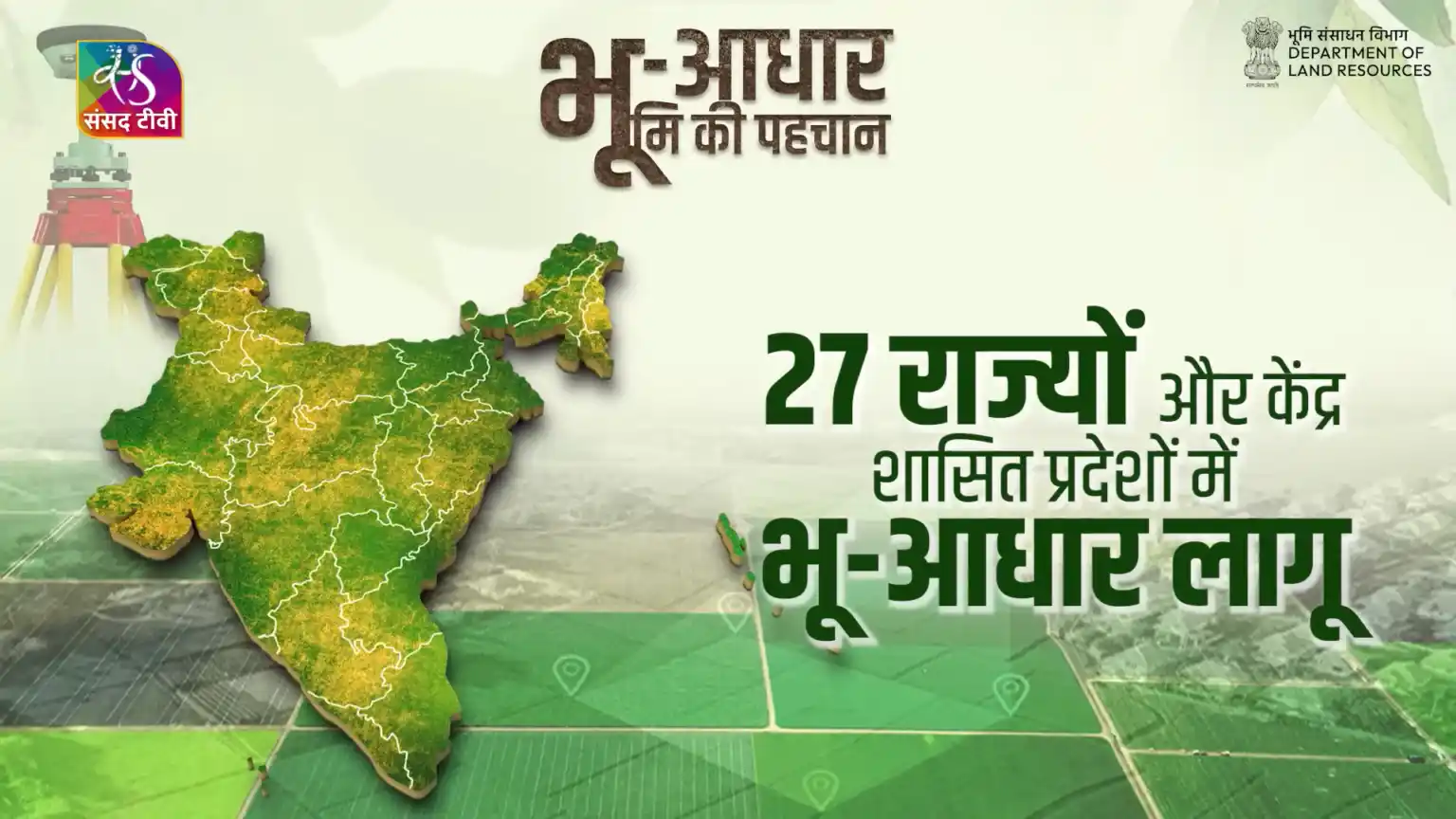
Quick answer: ULPIN (Unique Land Parcel Identification Number), popularly called Bhu-Aadhaar, is a 14-character alphanumeric ID that the government assigns to a land parcel after its boundary has been geo-referenced on a digital map. It identifies the land, not the owner. You do not apply for it — your state revenue department generates it, and it appears on your digital record of rights (khatauni, 7/12, RTC, jamabandi, khatiyan, pahani). As of August 2026, more than 40 crore land parcels had received a ULPIN, and the new DILRMP 3.0 (2026–2031) aims to give one to every parcel in India.
ULPIN at a glance (October 2026)
| Item | Details |
|---|---|
| Full form | Unique Land Parcel Identification Number |
| Popular name | Bhu-Aadhaar (“Aadhaar for land”) |
| Format | 14 characters, letters and digits |
| Generated from | Latitude/longitude of the parcel’s boundary vertices on a geo-referenced cadastral map |
| Standards | ECCMA (Electronic Commerce Code Management Association) and OGC (Open Geospatial Consortium) |
| Developed by | National Informatics Centre (NIC) |
| Run by | Department of Land Resources, Ministry of Rural Development, through state revenue departments |
| Programme | Digital India Land Records Modernization Programme (DILRMP); current phase DILRMP 3.0, April 2026 – March 2031, outlay ₹565.50 crore |
| Parcels covered | 40+ crore (DoLR, August 2026) |
| Cost to citizen | Nil. There is no application form and no “Bhu-Aadhaar card” to buy |
| Where to see it | Your state’s official land-records portal |
What changed in 2026
If you read about ULPIN before this year, much of it is now out of date. Here is what actually moved:
- February 2026 – Delhi switches to mission mode. The Delhi government decided to give every parcel in the capital a ULPIN, with the Revenue Department’s IT branch implementing it and the Survey of India supporting. A pilot in Tilangpur Kotla village (West Delhi) generated 274 ULPINs.
- 7 February 2026 – Maharashtra measures subdivisions. Maharashtra began a statewide exercise to measure agricultural sub-divisions so that each actual holding can get its own Bhu-Aadhaar. This matters because a parcel that exists on paper as “45/2” but was never measured cannot get a geo-referenced ID.
- August 2026 – 40 crore mark crossed. DoLR reported more than 40.58 crore parcels with a ULPIN, up from about 36 crore in November 2025 and roughly 8.4 crore in October 2024.
- 10 September 2026 – DILRMP 3.0 launched. Union Rural Development Minister Shivraj Singh Chouhan released the operational guidelines. The new phase moves from “digitise each record” to a connected, GIS-based Land Stack, with Universal Bhu-Aadhaar as its anchor (details below).
- 1 October 2026 – Maharashtra makes Aadhaar authentication mandatory for property registration. Note the difference: this is the person’s 12-digit Aadhaar, used to stop impersonation at the sub-registrar office. It is not the land’s Bhu-Aadhaar. Many news readers confused the two.
Check your number and find your state portal
Paste any number from your land papers below. The checker tells you whether it is a valid-format ULPIN or something else (khasra number, Aadhaar, PAN, DIGIPIN). It runs entirely in your browser.
Land ID Checker
Paste any number from your land papers to see if it is a valid-format ULPIN — or a khasra, Aadhaar, UP code or DIGIPIN. Runs in your browser; nothing is stored.
A format check can't confirm that a ULPIN exists or who owns the land. Always verify on your state's official land-records portal.
Find your state's land-records portal
Land is a state subject, so your ULPIN appears on your state's record of rights. Only official .gov.in / .nic.in sites are listed.
- Andhra Pradesh Meebhoomi
- Record
- Adangal, 1-B (ROR)
- Search by
- Survey number
- Bihar Bihar Bhumi
- Record
- Jamabandi Register, Khatiyan
- Search by
- Khata / Khesra number
- Chhattisgarh Bhuiyan
- Record
- B-1, Khasra (P-II)
- Search by
- Khasra number
- Record
- Khatauni, Khasra Girdawari
- Search by
- Khasra number
- Gujarat AnyRoR
- Record
- 7/12, 8-A
- Search by
- Survey / Block number
- Haryana Jamabandi Haryana
- Record
- Jamabandi (Nakal / Fard)
- Search by
- Khewat / Khasra number
- Jharkhand Jharbhoomi
- Record
- Register-II, Khatiyan
- Search by
- Khata / Plot number
- Karnataka Bhoomi
- Record
- RTC (Pahani)
- Search by
- Survey / Hissa number
- Kerala e-Rekha
- Record
- Thandaper, BTR
- Search by
- Survey / Re-survey number
- Madhya Pradesh MP Bhulekh
- Record
- Khasra, Khatauni, B-1
- Search by
- Khasra number or ULPIN
- Maharashtra Mahabhumi Bhulekh
- Record
- 7/12 (Satbara), 8-A
- Search by
- Survey / Gat number
- Odisha Bhulekh Odisha
- Record
- RoR (Khatiyan)
- Search by
- Khata / Plot number
- Punjab Punjab Jamabandi
- Record
- Jamabandi (Fard)
- Search by
- Khewat / Khasra number
- Rajasthan Apna Khata
- Record
- Jamabandi, Khasra Girdawari
- Search by
- Khasra number
- Tamil Nadu TN e-Services
- Record
- Patta & Chitta, A-Register
- Search by
- Survey / Sub-division number
- Telangana Bhu Bharati
- Record
- Pahani, ROR-1B
- Search by
- Survey number
- Uttar Pradesh UP Bhulekh
- Record
- Khatauni
- Search by
- Khasra/Gata number or 16-digit Unique Code
- Uttarakhand Bhulekh Uttarakhand
- Record
- Khatauni
- Search by
- Khasra number
- West Bengal Banglarbhumi
- Record
- Khatian, Plot information
- Search by
- Khatian / Plot number
Not listed yet. Search "<state> land records gov.in" and use only a .gov.in or .nic.in website.
Never pay a third-party site for a "Bhu-Aadhaar card". Links last reviewed October 2026.
How a ULPIN is actually created
A ULPIN is not handed out like a serial number. It comes at the end of a chain, and if any link is missing, your plot will not have one yet:
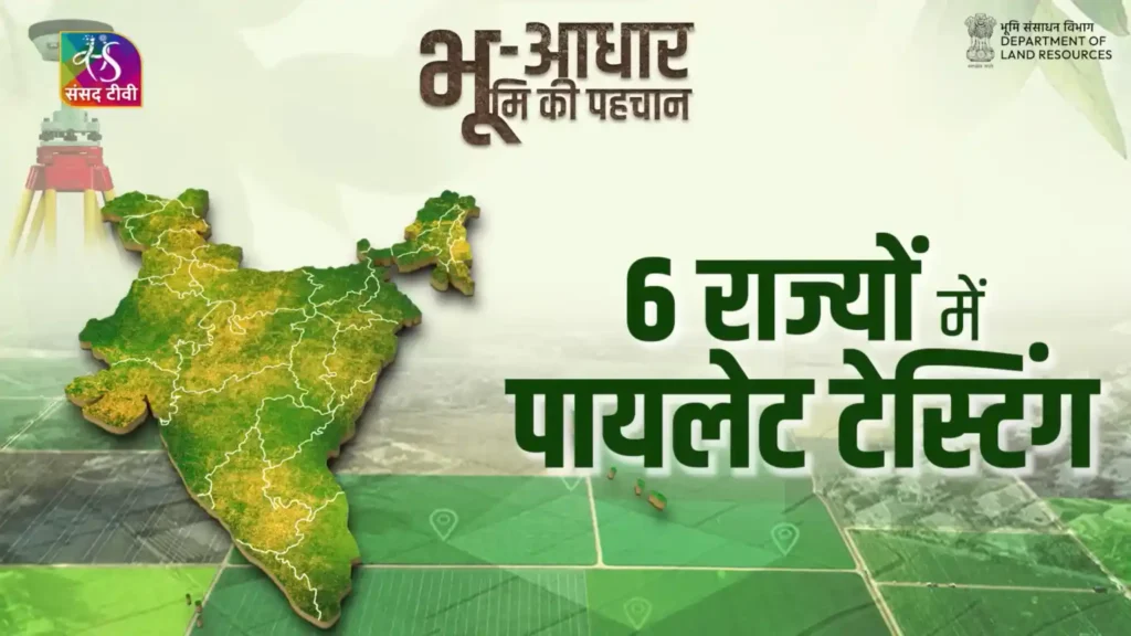
- Textual record digitised – the record of rights (owner, area, khasra/survey number) is computerised. Nationally, 99.9% of RoRs are now digital.
- Cadastral map digitised – the village map is scanned and vectorised. About 97% of cadastral maps are digitised.
- Map geo-referenced – the digital map is pinned to real-world coordinates using satellite imagery, drones or ground survey. DoLR describes geo-referencing as a pre-condition for generating Bhu-Aadhaar.
- Record linked to map – each khasra/survey number in the RoR is matched with its polygon on the map. Mismatches (area on paper differs from area on map) are where most delays happen.
- ULPIN generated – software computes the ID from the latitude/longitude of the parcel’s boundary vertices, following ECCMA and OGC standards, and writes it back into the RoR.
Andhra Pradesh’s earlier “Bhudhaar” project, which inspired ULPIN, used a two-step model: a temporary number based on the text record, later converted into a permanent one once geo-coordinates were added. Several states follow a similar sequence, which is why some records show an ID that later changes.
Can you decode a ULPIN? (Why we don’t publish a “digit table”)
Many websites show a neat table claiming the 14 digits break down as state (2) + district (2) + sub-district (3) + village (3) + plot (4). That is not how DoLR’s own ULPIN concept note describes it. The note says the core ID is computed from the latitude/longitude of the parcel’s vertices under the ECCMA standard, and that the number shown to the public may be mapped to a random number carrying only a state-code prefix. In other words, apart from a possible state prefix, the characters are not a readable address. Treat any “ULPIN decoder” with suspicion — the only reliable way to know what a ULPIN points to is to search it on the official state portal.
The life of a ULPIN: what happens when the land changes
Because a ULPIN is tied to a boundary on the map, the simple rule is: if the boundary stays the same, the ULPIN stays the same; if the boundary changes, new parcels need new IDs. State practice varies, so confirm with your tehsil/circle office, but this is how it generally works:
| Event | What happens to the ULPIN | What you should do |
|---|---|---|
| You sell the whole plot | Same ULPIN; owner name changes after mutation | Apply for mutation; check the new RoR shows the same ULPIN |
| Inheritance / succession | Same ULPIN if the plot is not divided | Complete succession mutation; heirs appear as co-owners |
| Family partition / sale of part | Parent parcel is split; each new piece needs a survey and its own ULPIN | Get the sub-division measured (e.g., e-Mojani in Maharashtra) so each share is mapped |
| Merging adjoining plots | New outer boundary; a new ID is usually generated | Ask the revenue office how the merged parcel is recorded |
| Conversion to non-agricultural use | Parcel unchanged unless re-surveyed or plotted into a layout | Layout plots get individual records — check each plot |
| Government acquisition of a strip | The remaining area is a changed parcel | Verify the reduced area and ID on the RoR after the award |
| Boundary error corrected | ID may be regenerated | Keep a copy of the old and new RoR for your records |
You will often read that a ULPIN “never changes, even after sub-division”. It does stay with the land through a sale or inheritance of the whole plot. But DoLR’s concept note says the system generates a new ID when a mutation changes the parcel’s coordinates — and a newly measured share is exactly that. It is also why Maharashtra decided in February 2026 to measure the 2.12 crore sub-divisions created since 1992 before linking them to Bhu-Aadhaar. How your state links the old (parent) and new (child) numbers depends on its software, so ask your tehsil how a partition will be recorded.
8 myths about Bhu-Aadhaar, corrected
| Myth | Fact |
|---|---|
| “Apply online for Bhu-Aadhaar.” | There is no citizen application. The state generates the ULPIN when your village’s map is geo-referenced and linked. |
| “Bhu-Aadhaar is linked to my Aadhaar card.” | They are different numbers. Linking a landowner’s personal Aadhaar to land records under DILRMP is voluntary and consent-based. |
| “A ULPIN proves I own the land.” | It identifies the parcel. Title still rests on the registered deed, mutation and record of rights. |
| “Download your Bhu-Aadhaar card.” | No national card exists. The ULPIN is printed on your RoR / khatauni / 7/12. Sites selling “cards” are not official. |
| “ULPIN is mandatory for every property registration in India from 2026.” | There is no single national rule. Registration rules are set by each state; check your state’s registration department. |
| “No ULPIN means the land is illegal.” | Usually, it only means the village isn’t fully geo-referenced, or the record and map don’t match yet. |
| “The 14 digits reveal state, district and village.” | DoLR describes it as computed from boundary coordinates; the public number may carry only a state prefix. Verify on the portal instead of decoding. |
| “It’s only for farmland.” | It started with rural parcels, but DILRMP 3.0 covers rural, semi-urban and urban land, and NAKSHA is mapping cities. |
ULPIN vs the other numbers on your land papers
| Number | Who issues it | What it identifies | Scope |
|---|---|---|---|
| ULPIN / Bhu-Aadhaar | State revenue dept. under DoLR framework | One land parcel, by its mapped boundary | Unique across India |
| Khasra / survey / gata / dag number | State revenue dept. | A plot in the village map | Unique only within a village |
| Khata / khatauni / khewat number | State revenue dept. | An owner’s account (may contain several plots) | Within a village |
| Property ID / assessment number | Municipality | A property for tax | Within one city |
| SVAMITVA property card | State + Survey of India | Inhabited village house plot (abadi) | Rural residential |
| Urban Property Card (UrPro) | Under NAKSHA | Urban parcel / property | Cities (rolling out) |
| DIGIPIN | Department of Posts | A ~4 m × 4 m grid square (address location) — ULPIN vs DIGIPIN | India-wide, not a land record |
| Aadhaar | UIDAI | A person | India-wide |
How to find your ULPIN, step by step
- Open your state’s official land-records portal from the list above (only .gov.in or .nic.in addresses).
- Select district, tehsil/taluka/circle and village.
- Search by khasra, survey, gata, khata or owner name. Some portals also offer a direct ID search: MP Bhulekh accepts a ULPIN, and UP Bhulekh accepts the state’s 16-digit “Unique Code” (see the FAQ below for how that differs from a ULPIN).
- Open the record (khatauni, 7/12, RTC, jamabandi, khatiyan, pahani). Look for a field labelled ULPIN, Bhu-Aadhaar, Unique Code or Parcel ID.
- Open the Bhu-Naksha (map) for the same plot and confirm that the shape and area match what you see on the ground.
- Save a digitally signed copy if your state offers one — that is the version banks and courts accept.
Your plot has no ULPIN — what now?
- Check the neighbouring plots. If none of them have a ULPIN either, your village simply hasn’t been geo-referenced yet. Nothing for you to do except keep records updated.
- If neighbours have one and you don’t, the most common causes are a pending mutation, a sub-division that was never measured, or an area mismatch between the RoR and the map. Visit the tehsil/circle office with your deed and the latest RoR.
- If details are wrong (name, area, plot shape), apply for correction through the state’s grievance or correction module; Telangana’s Bhu Bharati, for example, has formal correction and appeal routes.
Using ULPIN to buy land safely: a 9-point checklist
- Get the ULPIN from the seller and search it yourself on the state portal — never rely on a screenshot.
- Confirm the owner name, area and land type on the RoR match the draft sale deed.
- Open the Bhu-Naksha and compare the plot shape with the physical site and fencing.
- If you are buying part of a parcel, insist on a measured sub-division first; otherwise your share has no ID of its own.
- Pull the encumbrance certificate (EC) for at least 30 years to see mortgages and earlier sales.
- Check pending revenue court cases (RCCMS, where your state has it online) and civil court records.
- Check mutation history: frequent recent transfers deserve questions.
- Make sure the sale deed mentions the ULPIN along with the khasra/survey number.
- After registration, apply for mutation and confirm the new RoR shows your name against the same ULPIN.
A ULPIN makes it far harder for one plot to be passed off as another, but it is a locator, not a clearance. Title due diligence is still needed.
Convert local land units
Land records across states mix acres, hectares, decimals, guntha, kanal and bigha. Use the converter to cross-check the area on your RoR against the sale deed.
Land Area Converter
Bigha, katha, dhur, decimal, guntha, acre, hectare — with each state's local values and a state-vs-state comparison.
All conversions
Bigha, katha and dhur differ by district and even by village. Values here are the most commonly used figures for each state; for registration or court work, confirm the local value with your tehsil or circle office.
DILRMP 3.0 (2026–2031): where ULPIN goes next
The third phase of the Digital India Land Records Modernization Programme is a Central Sector Scheme, fully funded by the Centre, with an outlay of ₹565.50 crore from April 2026 to March 2031. Its key pieces:
- Universal Bhu-Aadhaar – a ULPIN for every parcel: rural, semi-urban and urban.
- Land Stack – each state links land records, maps, registration and court data through APIs, so one ULPIN can pull related information across departments instead of copies being kept in silos.
- Registration Seva Kendras – 75 high-footfall sub-registrar offices upgraded on the Passport Seva Kendra model.
- RCCMS – revenue court case management integrated with land records, so a plot’s dispute status sits next to its record.
- NAKSHA acceleration – GIS-based urban land records and Urban Property Cards (UrPro cards).
- Legacy record scanning and a registration repository, with funds released in phases based on performance, tracked on the DILRMP-MIS dashboard.
The earlier phases computerised 99.9% of records of rights, 97% of cadastral maps and 99% of sub-registrar offices, according to the government. DILRMP 3.0 is about connecting those pieces — and ULPIN is the key that connects them.
ULPIN in cities: NAKSHA
Urban land was the biggest gap. NAKSHA (National Geospatial Knowledge-based Land Survey of Urban Habitations) was launched on 18 February 2025 as a pilot in 152 urban local bodies across 26 states and 3 Union Territories, with Survey of India providing aerial imagery. Under DILRMP 3.0 it is being expanded to issue Urban Property Cards, bringing city plots into the same parcel-ID system.
How we got here: ULPIN timeline
| Year | Milestone |
|---|---|
| 2008 | National Land Records Modernization Programme (NLRMP) begins |
| 2016 | Revamped as DILRMP, a 100% centrally funded Central Sector Scheme |
| 2018 | Andhra Pradesh launches its own 11-digit Bhudhaar project |
| Oct 2020 | Centre announces the 14-character ULPIN, developed by NIC |
| 2021 | ULPIN rolled out in the first 10 states; original target of March 2022 for all parcels is missed |
| Jun 2023 | Rolled out in 26 States/UTs; Chandigarh starts in 3 villages |
| 23 Jul 2024 | Union Budget: ULPIN for all lands, survey of sub-divisions by current ownership, land registry linked to farmers’ registry; urban records via GIS — incentivised over three years |
| Oct 2024 | About 8.4 crore ULPINs out of 28.72 crore listed rural parcels (~30%) |
| 18 Feb 2025 | NAKSHA urban survey pilot launched in 152 cities |
| Nov 2025 | 36 crore+ parcels with ULPIN across 29 States/UTs |
| Feb 2026 | Delhi mission-mode rollout; Maharashtra sub-division measurement drive |
| Aug 2026 | 40.58 crore+ parcels with ULPIN |
| 10 Sep 2026 | DILRMP 3.0 guidelines launched (2026–2031, ₹565.50 crore) |
Why do the percentages look inconsistent across reports? The total number of “listed parcels” keeps rising as states record sub-divisions, and some reports count only rural parcels while others count everything. Compare like with like.
ULPIN क्या है? (हिंदी में सार)
ULPIN यानी यूनिक लैंड पार्सल आइडेंटिफिकेशन नंबर, जिसे भू-आधार कहा जाता है, जमीन के हर टुकड़े (पार्सल) का 14 अंकों/अक्षरों का एक विशिष्ट नंबर है। यह जमीन की सीमा के कोनों के अक्षांश-देशांतर (latitude-longitude) से बनता है। यह जमीन की पहचान है, मालिक की नहीं — इसका आपके 12 अंकों वाले आधार कार्ड से कोई संबंध नहीं है।
- आवेदन नहीं करना होता: गांव का नक्शा डिजिटल और जियो-रेफरेंस्ड होने पर राज्य का राजस्व विभाग खुद नंबर बनाता है।
- कहां देखें: अपने राज्य के भूलेख पोर्टल पर खतौनी / खसरा / जमाबंदी / खतियान / 7/12 में “ULPIN”, “यूनिक कोड” या “भू-आधार” वाला कॉलम देखें।
- स्वामित्व का सबूत नहीं: मालिकाना हक रजिस्टर्ड बैनामा और दाखिल-खारिज (म्यूटेशन) से ही तय होता है।
- बंटवारे पर: जमीन बंटने पर नए हिस्सों की नपाई होती है और हर हिस्से को अलग ULPIN मिलता है।
- 2026 की स्थिति: अगस्त 2026 तक 40 करोड़ से अधिक पार्सलों को ULPIN मिल चुका है; DILRMP 3.0 (2026–2031) के तहत हर पार्सल को भू-आधार देने का लक्ष्य है।
ULPIN guides by topic
Go deeper on the question you came with:
- Find and use your ULPIN: How to find your ULPIN number · Can you apply for Bhu-Aadhaar online? · 15-point land verification checklist
- State guides: Uttar Pradesh (Unique Code vs ULPIN) · Maharashtra (7/12) · Bihar · Jharkhand · Odisha · Madhya Pradesh
- Policy and programmes: DILRMP 3.0 and the Land Stack · NAKSHA and UrPro cards · ULPIN vs DIGIPIN
- Tools and exam prep: Land unit converter · ULPIN UPSC notes and MCQs
Frequently asked questions
What is the full form of ULPIN?
Unique Land Parcel Identification Number. It is also called Bhu-Aadhaar.
How many digits does a ULPIN have?
14 characters. It is alphanumeric, so it can contain both letters and digits.
How do I apply for Bhu-Aadhaar online?
You can’t, and you don’t need to. The state generates the ULPIN once your village’s map is geo-referenced and your record is linked to it. If neighbouring plots have a ULPIN and yours doesn’t, visit your tehsil or circle office.
How can I check my ULPIN number?
Search your plot on your state’s official land-records portal by khasra, survey or khata number and look for the ULPIN / Unique Code field on the record. Use the state portal list on this page.
Is Bhu-Aadhaar the same as my Aadhaar card?
No. Aadhaar is a 12-digit number for a person issued by UIDAI. Bhu-Aadhaar (ULPIN) is a 14-character number for a land parcel.
Does a ULPIN prove ownership?
No. It identifies the parcel and links its records. Ownership is shown by the registered deed, mutation and record of rights.
Will my ULPIN change if I sell my land?
Not if you sell the whole parcel — only the owner details change after mutation. If the land is divided, the new pieces get their own IDs after they are measured.
Is ULPIN mandatory for property registration?
There is no single nationwide rule. Some states print or require the ULPIN in registration and land records; check your state’s registration department. Separately, many states now require the parties’ personal Aadhaar authentication at registration — that is a different requirement.
What is ULPIN in 7/12?
In Maharashtra, the 7/12 (Satbara) extract is the record of rights for agricultural land. Where a ULPIN has been generated, it appears on the 7/12 so the survey/gat number is linked to its geo-referenced parcel.
What is the Unique Code in UP Bhulekh khatauni?
Uttar Pradesh introduced its own 16-digit Unique Property Identification Code (UPIC) for every gata in 2018-19 — 6 digits of census village code, 4 of gata number, 4 of sub-division and 2 of land type. It is numeric and not geo-referenced, so it is not the same as the 14-character ULPIN, which UP is also generating. Count the digits to tell them apart. Full UP guide.
Is there a fee for ULPIN?
No fee is charged for the ULPIN itself. Your state may charge a small fee for a certified copy of the record.
Which ministry implements ULPIN?
The Department of Land Resources under the Ministry of Rural Development, through state and UT revenue departments. The technology was developed by the National Informatics Centre.
Does ULPIN cover urban property and flats?
ULPIN identifies land parcels. Urban plots are being mapped under NAKSHA and DILRMP 3.0, which also plans Urban Property Cards. How individual flats in a building are recorded depends on state systems.
Is my data safe if I search my land record?
Use only official .gov.in or .nic.in portals. Land records are public documents, but never share your personal Aadhaar, OTPs or bank details with third-party “Bhu-Aadhaar” websites or agents.
Official sources
- Department of Land Resources – Bhu-Aadhaar (ULPIN)
- Department of Land Resources – DILRMP
- PTI via ThePrint – DILRMP 3.0 launched (Sep 2026)
- Rural Voice – 40 crore+ parcels with ULPIN (DoLR data)
- The Tribune – Delhi Bhu-Aadhaar rollout
- ThePrint – ULPIN coverage, October 2024
Editorial note: ULPIN.in is an independent information website and is not affiliated with any government department. We do not issue ULPINs or charge for any land-record service. Spotted an outdated detail? Tell us through the contact page and we will correct it.